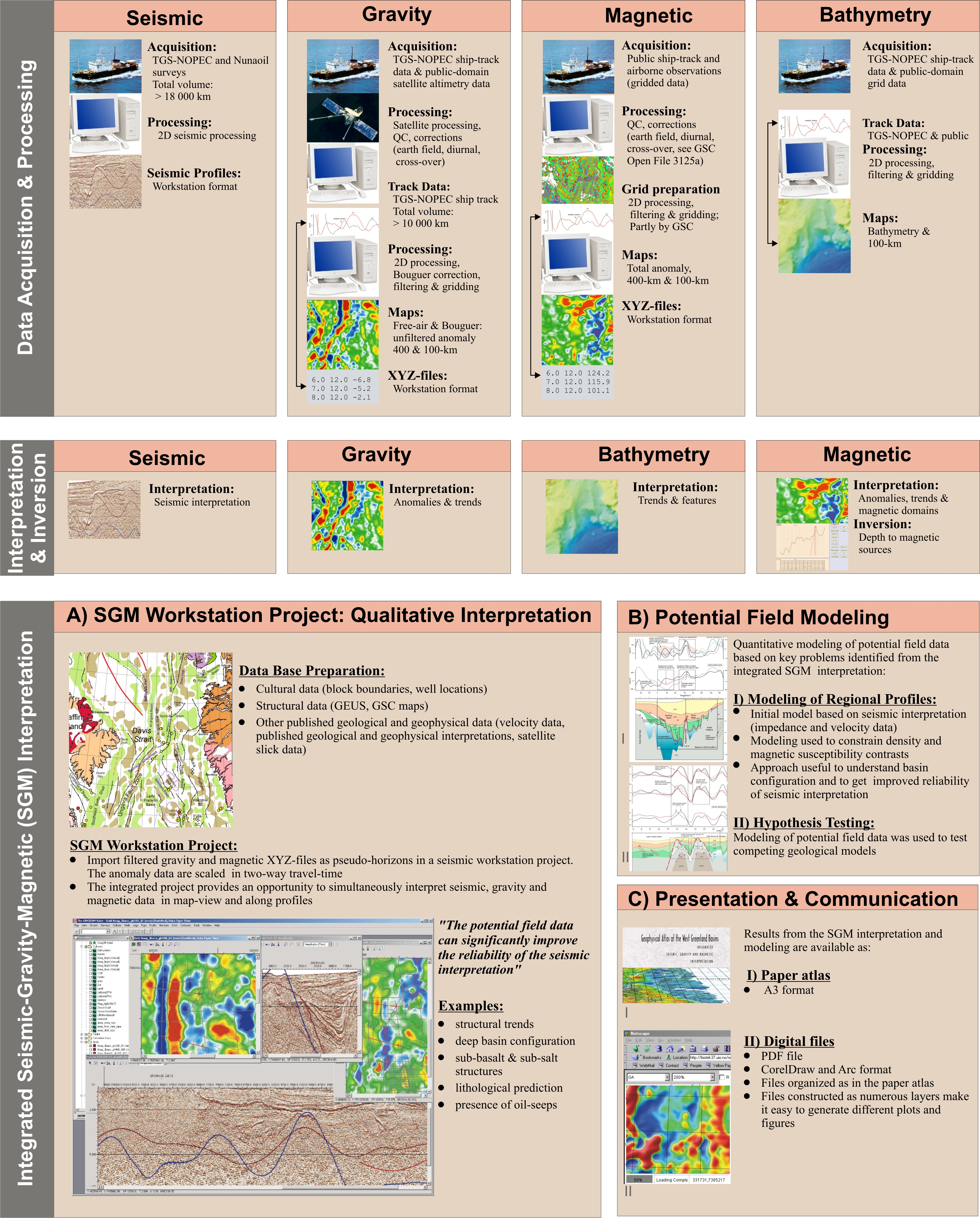
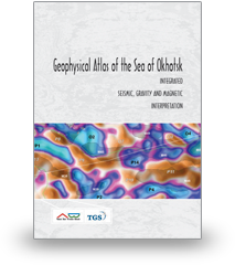
Seismic data provide detailed information about the impedance and velocity structure of sedimentary basins. However, the acquisition cost is high and the depth resolution is commonly limited. Gravity and magnetic data provide complimentary information about the sub-surface density and magnetic susceptibility variations at a lower cost.
Integrated interpretation of the three data types is best accomplished in a workstation environment. The integration can easily be accomplished by importing filtered gravity and magnetic horizons as pseudo-horizons, or “density-attribute” and “susceptibility-attribute” maps. Seismic interpreters can easily relate to the potential field data in this environment. The data can be used to constrain the seismic interpretation of basins and basement highs, to identify geological trends that are not obvious in the seismic data, or for lithological discrimination (e.g., salt, volcanic rocks, clastic sequences or carbonates). Integrated SGM interpretation will usually increase both the efficiency and quality of the seismic interpretation.
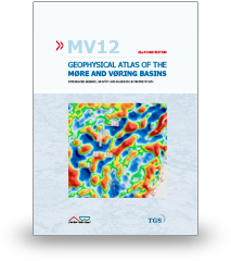
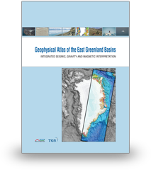
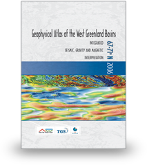
VBER has completed full SGM analytical work and issued Geophysical Atlases in the following Arctic regions:
