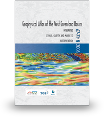
Geophysical Atlas of the West Greenland Basins
Compiled and edited by Sverre Planke, Reidun Myklebust, and Jens Christian Olsen.

The atlas contains up to date regional potential field maps, and integrated seismic, gravity and magnetic interpretations. It also includes an update of exploration history, and summarizes petroleum systems and deep basin structures. The atlas is a good reference for oil companies planning to initiate regional evaluations of West Greenland and adjacent Canadian waters.


CONTENTS
Background
- Executive Summary
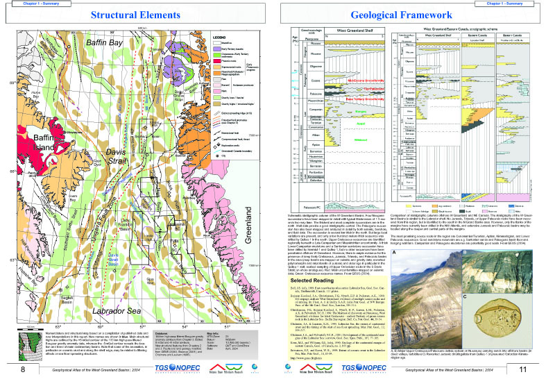
- Geological Framework
- Well Summaries
- Petroleum Prospectivity and Maturation
- Volcanic Rocks
Regional Maps and Plate Reconstructions: 45° to 80°N
- Bathymetry
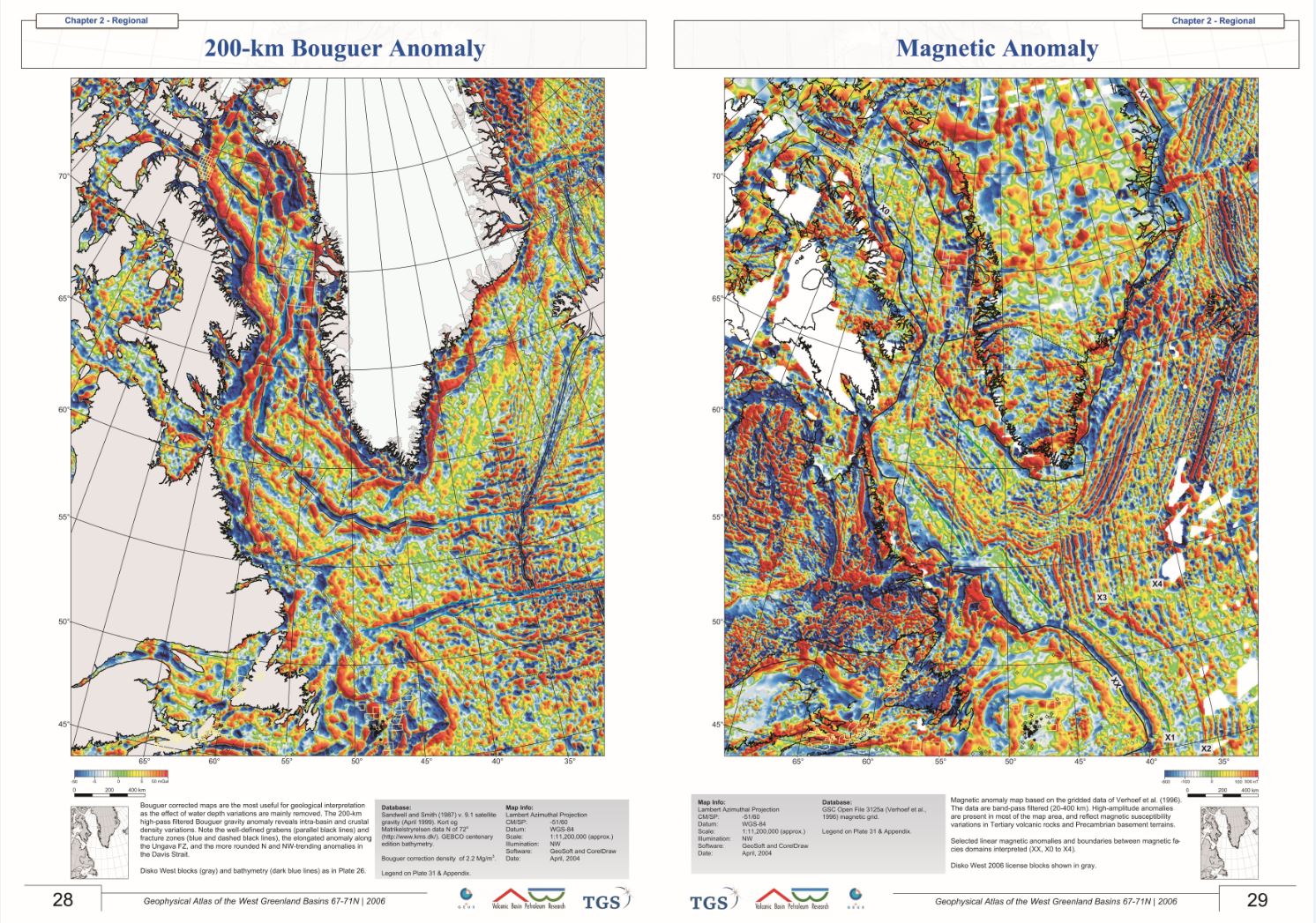
- Gravity: Free-Air and 200-km Bouguer Anomalies
- Magnetic Anomaly
- Nomenclature Map
Potential Field Maps & Interpretation: 67° to 71°N
- Bathymetry
- Gravity: Free-Air, Bouguer, 400-km Bouguer, 200-km Boguer, and 100-km Bouguer Anomalies
- Magnetic: 400-km and 100-km Anomalies
- Anomaly Interpretations
- Trends and Facies Unit Interpretations
Integrated SGM Interpretation
Paleogene Volcanism
- Extrusive Complexes
- Intrusive Complexes
- Magnetic Properties
- Magnetic Modeling
- Geochemistry
Picture Gallery
Bibliography
Appendix