Compiled and edited by Nina Lebedeva-Ivanova, Stephane Polteau, Dmitry Zastrozhnov and Sverre Planke, with contributions from Ben Manton and Reidun Myklebust (TGS)
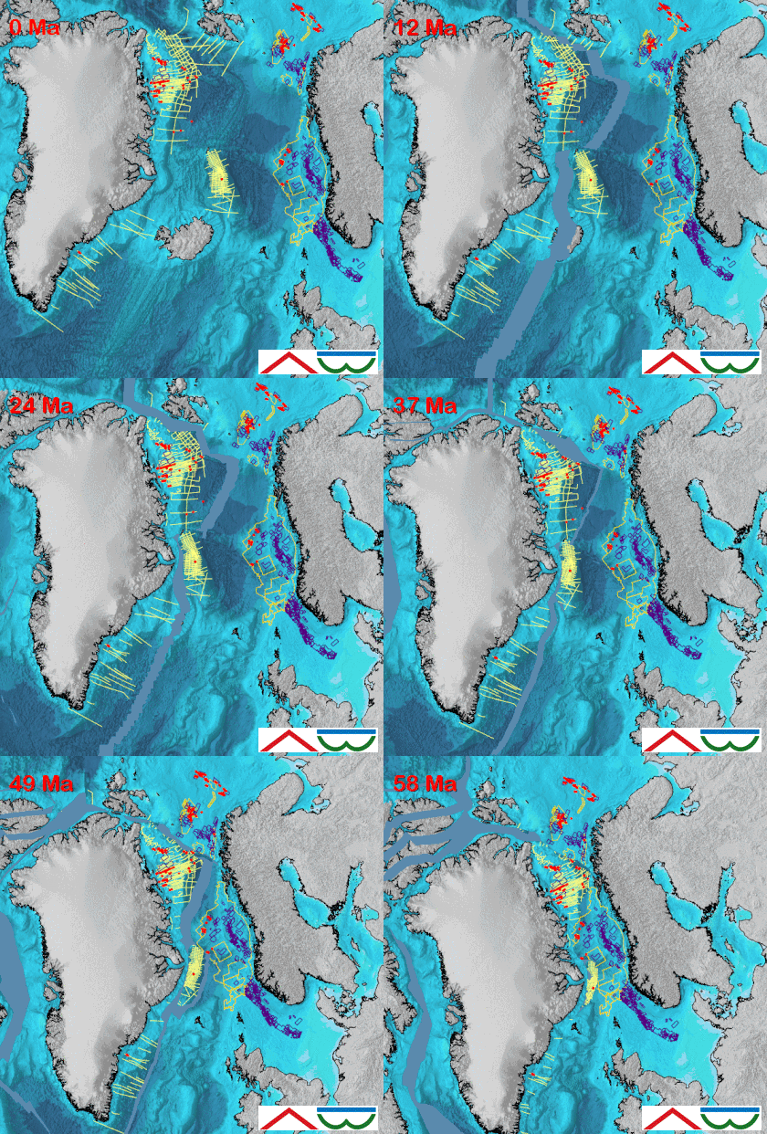
The continental plate reconstruction model is built using GPlates software (freeware) for obtaining the best possible fit between plate boundaries before the opening of the NE Atlantic. The results from the reconstruction is ideal for integrating geological and geophysical data to evaluate the hydrocarbon potential of the outer Vøring, Møre and SW Barents Sea basins, and the conjugate East Greenland margin.
The reconstructed map at pre break-up time is the result of the integrated interpretation of SGM (seismic, gravity, and magnetic) data.

NAMS18 and BSS14 sampling sites (red dots)
TGS 3D/2D data (yellow), NPD Licenses (blue)
©VBER-model

Contents
- Introduction
Global Models
NE Atlantic Models - NAMS18 Polygons
Present Day Continental Boundaries
Present Day Static Plate Polygons
Rotation Poles - NAMS18 Model
Pre-breakup - Late Paleocene
Early Breakup - Early Eocene
M. Eocene to L. Eocene
Oligocene to E. Miocene
M. Miocene to Present Day - Reconstructed Maps
Magnetic Anomaly Maps
Gravity Anomaly Maps
Base Cretaceous Unconformity Map
Structure Map - Reconstructed Conjugate Profile
Deliverables
- Printed report
- PDF of report
- Digital GPlates Model
- ArcMap project with sampling locations, seismic navigation and public available data for 58 Ma


Magnetic field anomalies.
White lines - NAMS18 PDCBs.
Black lines - JMMC, East Greenland and Hovgaard ridges at ~58 Ma.