January 2021 | P-Cable 3D for detecting and monitoring CO2 leakage

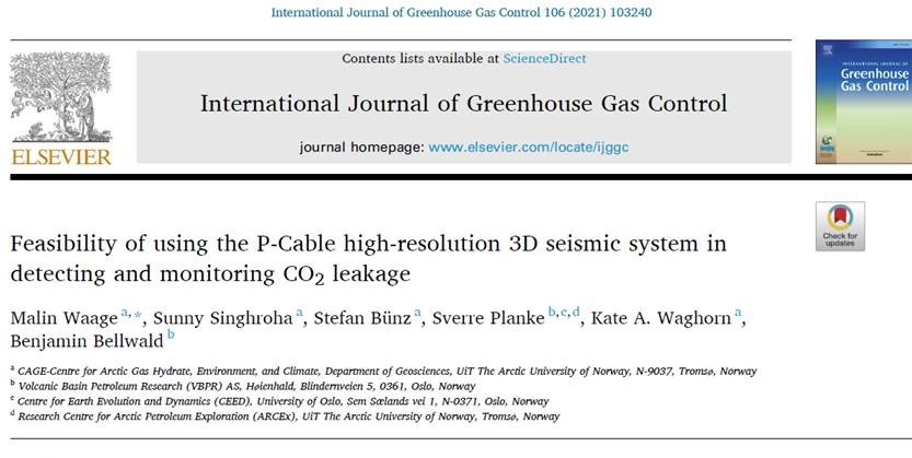
Malin Waage (CAGE) with new paper on new accomplishments with P-Cable 3D data

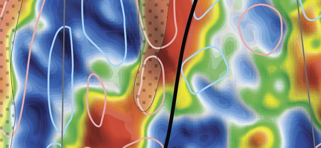
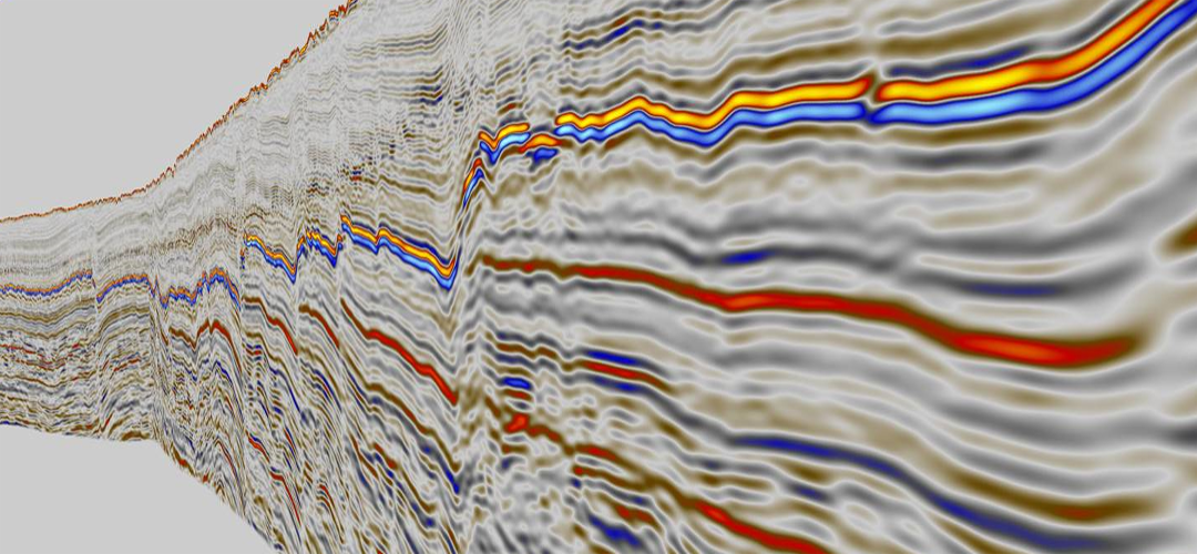
High-resolution 3D (HR3D) seismic has the potential to detect and monitor CO2 leakage at carbon capture and storage sites with higher accuracy at depths ∼0−2 km below the seafloor compared to more traditional conventional seismic time-lapse data. Studies on P-Cable 4D seismic data show good repeatability (NRMS, 10–40 %), indicating a future monitoring potential. Analysis of detection limits of CO2 data from a CO2 storage site show the ability to detect very small amounts of CO2 (1.3–10.6 t; 3.3–27.4 % gas saturation) in the shallow subsurface. These detection limits are ∼30−300 times smaller than the detection limits of conventional seismic data at similar depths.

We conclude that the P-Cable acquisition system can be a valuable monitoring tool in detecting small leakages and can complement conventional seismic data monitoring of the deeper interval.
January 2021 | VBER at Vinterkonferansen 2021

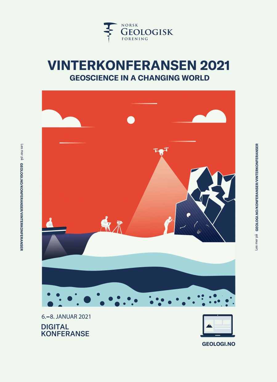
Strong participation from VBER at Vinterkonferansen 2021, 6-8 January

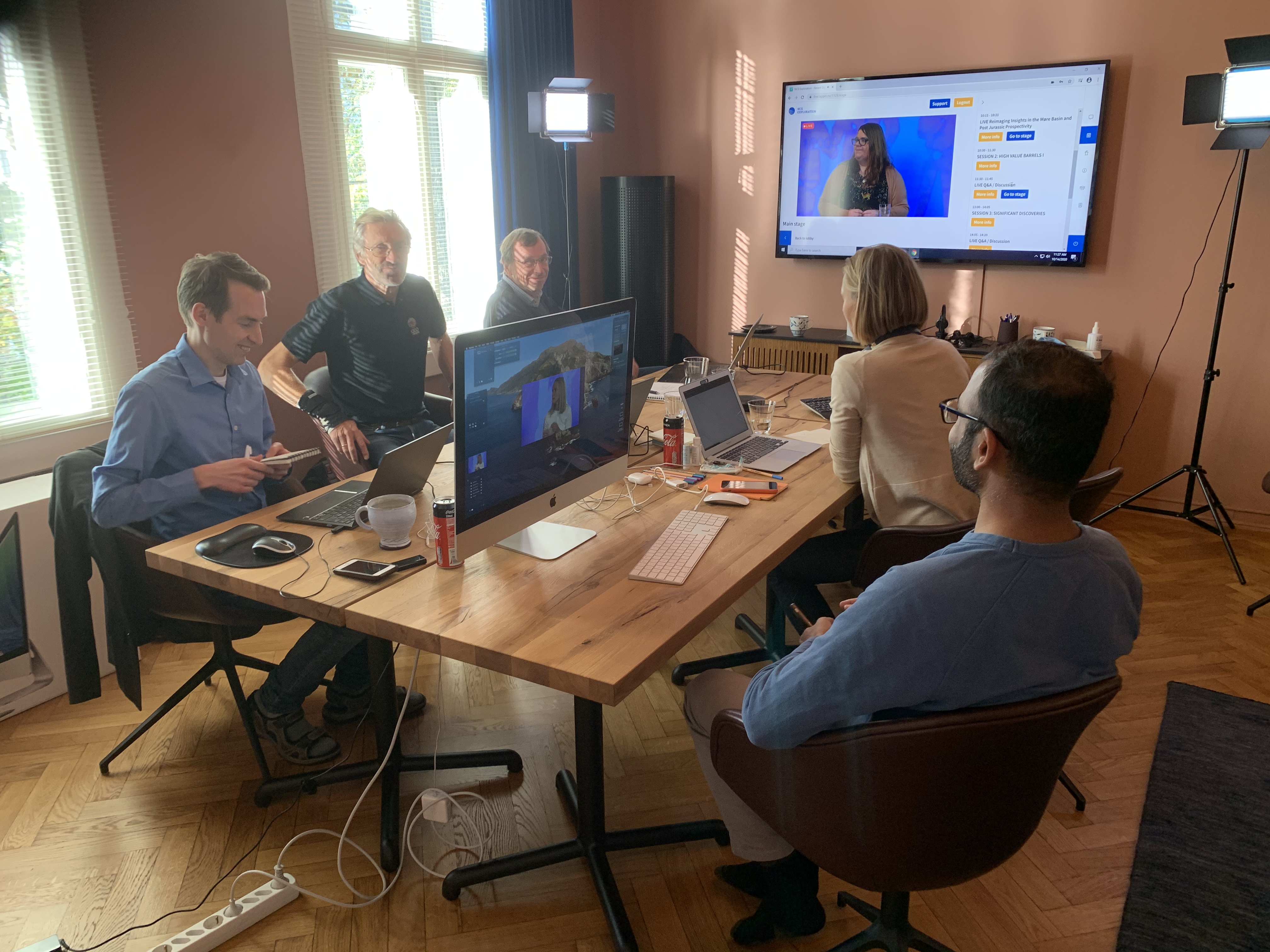
Vinterkonferansen 2021 is fully digital, and scientific work at VBER will be presented in the following lectures:

Sverre Planke
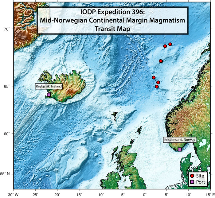
Understanding breakup magmatism and climate by IODP drilling offshore mid-Norway in 2021.
(6 Jan - T1 - 15:35)

Yngve Rundberg
Slide model revisited: Giant collapse of Oligocene-lower Miocene strata in Northern North Sea and Møre Basin.
(7. Jan - T2 - 13:45)

Benjamin Bellwald
Characterization of a Glacial Paleo-outburst Flood Using High-resolution 3D Seismic Data: Bjørnelva River Valley, SW Barents Sea.
(8. Jan - T3 - 09:05)

Benjamin Bellwald
Meltwater Sediment Transport as the Dominating Process in Mid-latitude Trough Mouth Fan Formation.
(8. Jan - T3 - 11:55)

November 2020 | 25R blocks in VBER core areas

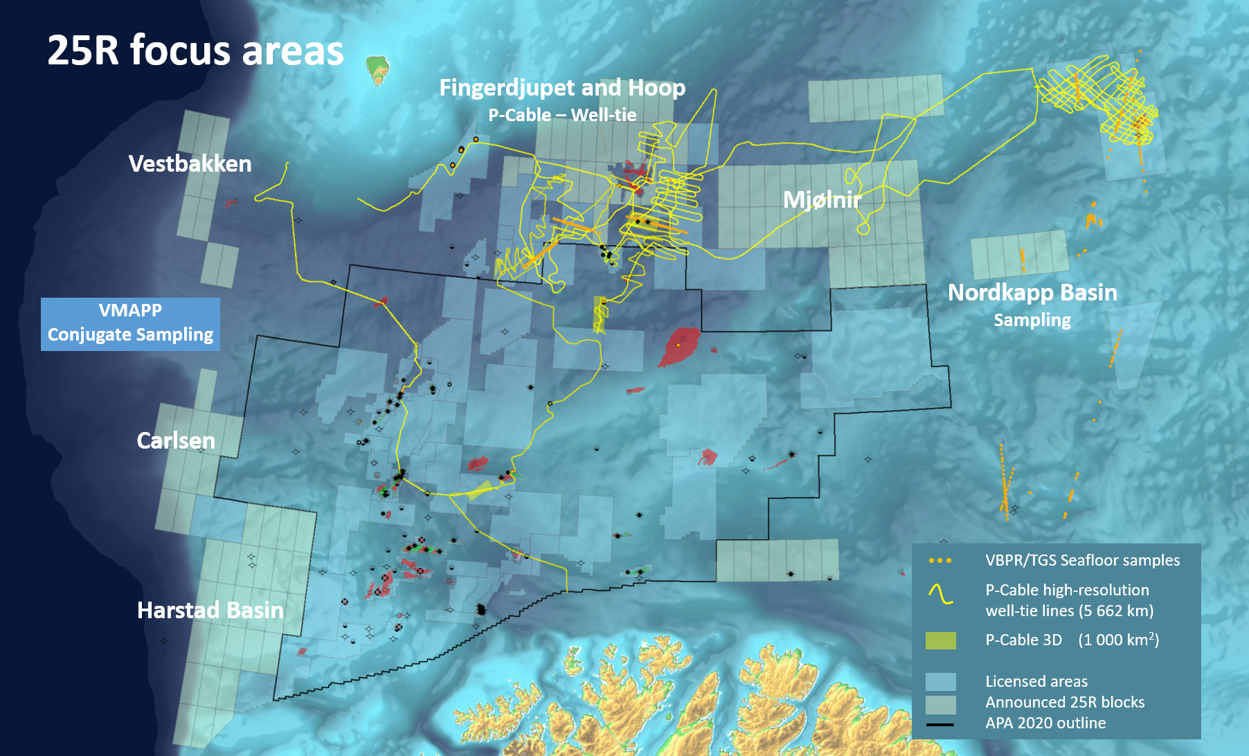
The 25th licensing round was announced 19th of November, with 125 blocks in the Barents Sea and 11 blocks offshore mid-Norway.

In the northern Barents Sea, from Fingerdjupet across Hoop to Mjølnir, VBER and TGS have invested in P-Cable and seafloor sampling data to investigate the hydrocarbon systems at highest possible resolution. For more info on the data or consultancy relevant for 25R areas, please contact us.

The remaining 11 blocks are in the Slørebotn area south of the Ormen Lange field. VBER is proposing a 25th round project, NQ21, on Neogene and Quaternary geology, prospectivity, and geo-hazards. This is a topic VBER has published extensively on during the last decade, and these studies are particularly relevant for understanding the North Sea and Bear Island Fan areas.

October 2020 | Inside the Erlend volcano

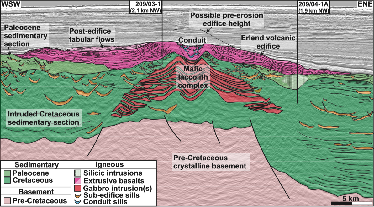
Inside the volcano: Three-dimensional magmatic architecture of a buried shield volcano

by Faye Walker, Nick Schofield, John Millett, Dave Jolley, Simon Holford, Sverre Planke, Dougal A. Jerram and Reidun Myklebust

Recent data suggest that magma chambers beneath volcanoes are formed incrementally through amalgamation of smaller intrusions. Here we present the first high-resolution threedimensional reconstruction of an ancient volcanic plumbing system as a large laccolithic complex. The complex appears to have fed both surface volcanism and an extensive sill network beneath the volcanic edifice.  Our results reveal for the first time the entire multicomponent plumbing system within a large ancient shield volcano.

September 2020 | New paper on Mimir High stratigraphy

Authors: S. Polteau, S. Planke, D. Zastrozhnov, M. Mansour Abdelmalak, N. Lebedeva-IvanovaE. Eckhoff Planke, H. Hovland Svensen, A. Mazzini, L. Gernigon, R. Myklebust, B. E. Kjølhamar, R. B. Pedersen, N. R. Sandstå and S. Bünz.


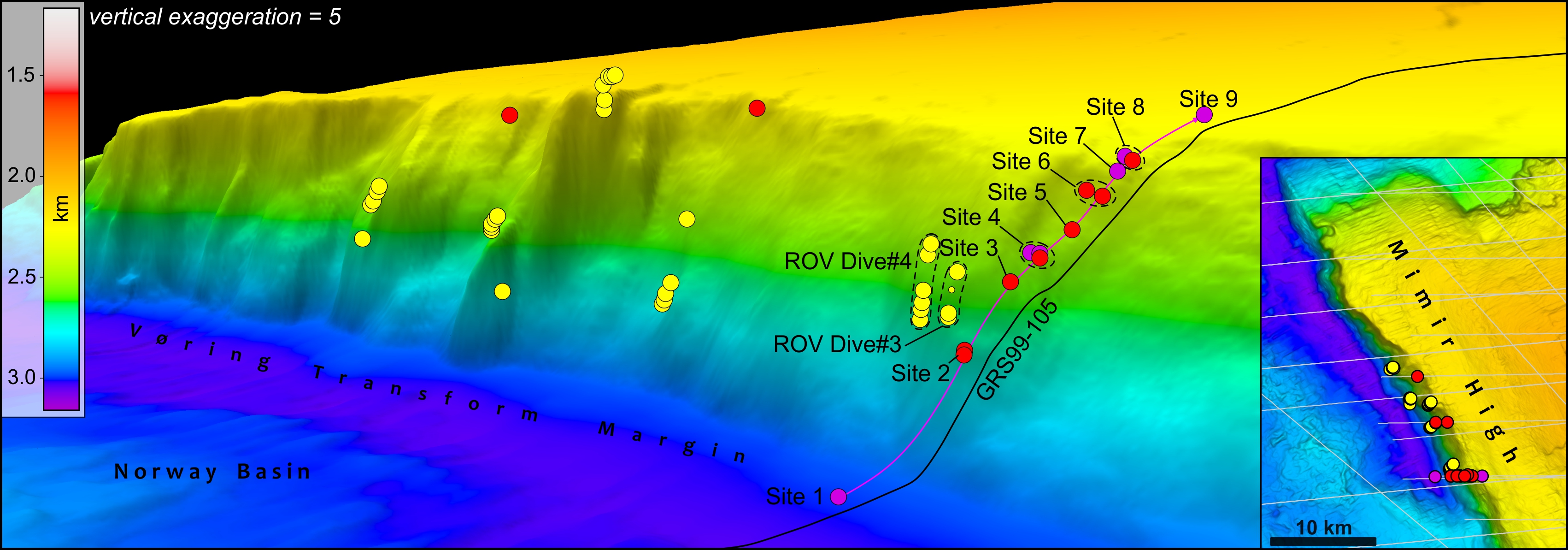
The Mímir High located along the Vøring Transform Margin provides a unique opportunity to recover in situ rock fragments from outcrops at the seabed. Such data are crucial to calibrate and document the stratigraphy of this frontier area and to understand the tectono-magmatic development of the Vøring Transform Margin prior to, during and after continental breakup.

In this contribution, we combine and present the results from VBER seabed sampling of the Mímir High acquired during the Vøring Transform Margin Sampling VTMS00 and NPD 2013-B surveys carried out in 2000 and 2013, respectively. The samples were subsequently analyzed and dated using conventional sedimentology, organic geochemistry and biostratigraphy methods. Our results revealed that Upper Cretaceous to lower Eocene sediments and sill intrusions outcrop on the Mímir High.

We propose that during the Late Cretaceous-late Paleocene the proto-Vøring Transform Margin acted as an effective pathway to transport sediments from the emerged areas in the NE Greenland and Jan Mayen Ridge into the outer and distal Møre and Vøring basins as turbidite sequences.  Our results provide a stratigraphic basis for future IODP drilling campaign in 2021, where the Mímir High is one of the key targets to drill.

Link to paper  (50 days free access)

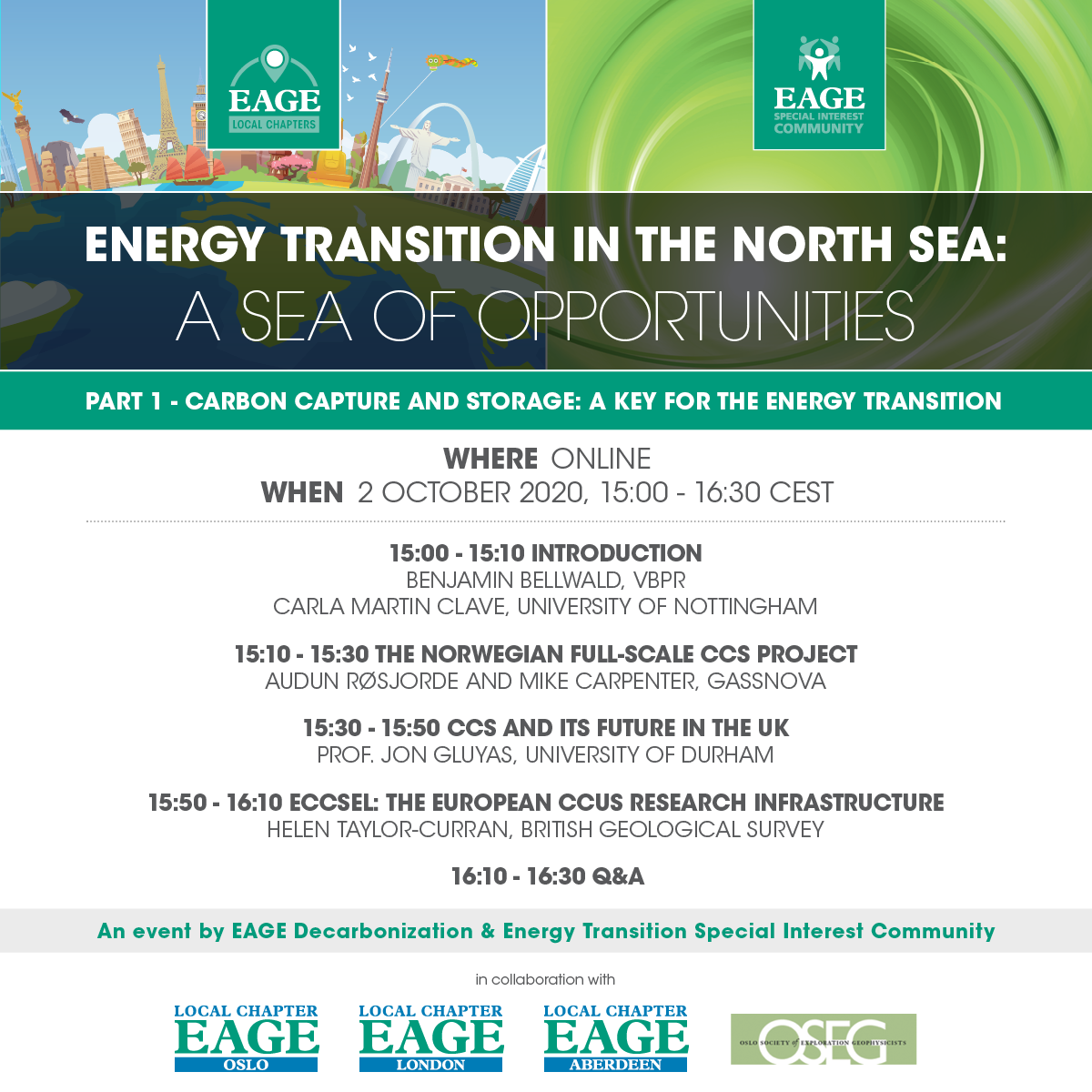
September 2020 | EAGE Carbon Capture and Storage: Online event 2. October 2020

Carbon Capture and Storage (CCS) technology aims to be part of the solution for a transition from an energy system based on fossil fuels to a more renewable and sustainable way of producing energy. The role CCS technology will play in the future energy industry is uncertain and open to discussion.

From the EAGE Special Interest Community in Decarbonization and Energy Transition, in partnership with the EAGE Local Chapters from London, Aberdeen, Oslo and the Oslo Society of Exploration Geophysicists, we invite you to join us in this exciting session about CCS opportunities and its future in the UK and the North Sea. We aim to bring together different perspectives, both from industry and academia, into a discussion which we want you to be part of.

Please register for the event here,

September 2020 | Milestone paper on glacial deposition and Pleistocene climate changes

Benjamin Bellwald, VBER with article in the prestigious Nature Communications

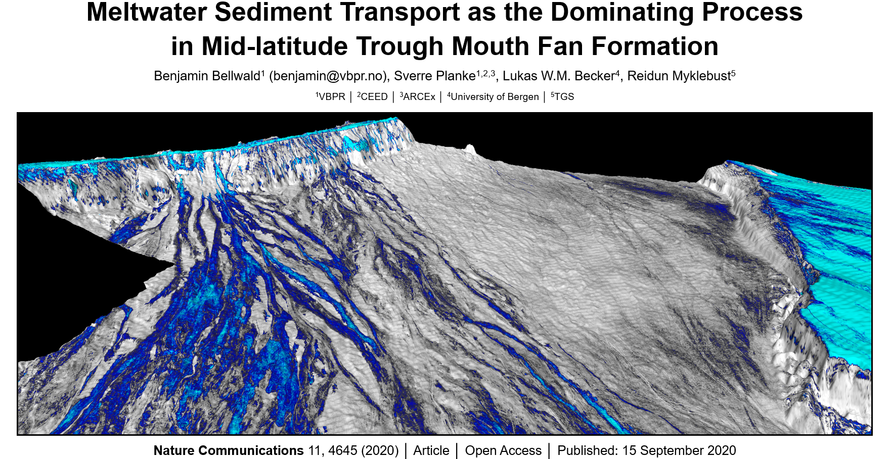
Trough mouth fans comprise the largest sediment deposits along glaciated margins, and record Pleistocene climate changes on a multi-decadal time scale. Here we present a model for the formation of the North Sea Fan derived from detailed horizon and attribute interpretations of high-resolution processed 3D seismic reflection data. The interpretation shows that stacked channel-levee systems form up to 400 m thick sedimentary sequences. The channels are elongated and can be traced from the shelf edge towards the deep basin for distances of >150 km, and document long-distance sediment transport in completely disintegrated water-rich turbidite flows. Downslope sediment transport was a continuous process during shelf-edge glaciations, reaching accumulation rates of 100 m/kyr. Our data highlight that exceptionally large volumes of meltwater may discharge to the slopes of trough mouth fans and trigger erosive turbidite flows. We conclude that freshwater supply is likely an underestimated factor for sedimentary processes during glacial cycles.

September 2020 | Proposed Vøring drilling campaign accepted by IODP

Planned drill holes along the Norwegian rifted margin in the fall 2021

  • Do the volcanics of the Vøring and Møre margin witness melting of the same mantle components as in SE Greenland?
  • Does the along strike volcanism witness elevated temperatures consistent with a plume?
  • Do the volcanic facies reveal evidence for dynamic topography consistent with plume-ponding models?
  • Do hydrothermal vents in the basin link precisely with the onset of the PETM?

These first order questions will be addressed by the proposed drilling and will allow us to unravel the distinct end member models for the formation of excess volcanism during breakup (source composition, temperature anomaly related to a mantle plume, small scale convection), as well as the link between volcanism and global climate in the Paleogene. See also article in Expronews.com

IODP proposal submitted by:
Ritske Huismans, Christian Berndt, Sverre Planke, Morgan Jones, Christian Tegner, Jan Inge Faleide, Laurent Gernigon, Joost Frieling, Trond Torsvik, Damon Teagle, David Jolley, Asbjørn Breivik, Henrik Svensen, Dougal Jerram, Reidun Myklebust, Mansour Abdelmalak, Lars Eivind Augland, Susanne Buiter, John Millett

August 2020 | New paper on the end-Permian mass extinction

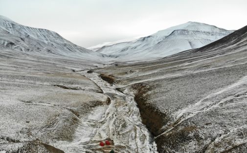
The Permian-Triassic boundary is outcropping in the stream bed of Deltadalen, Svalbard. A 100-meter-long core was drilled one kilometer south of the outcrop in 2014, recovering the boundary interval. The Grusryggen mountain in the background. View to the south. (Photo: Julian Janocha.

Mass extinctions – Lessons from the past

A new study led by Dr. Martin Schobben (Museum für Naturkunde, Berlin), with co-authors from the Dept. for Geosciences (UiO), describes the causal chains between environmental changes and mass extinction at the Permian-Triassic boundary about 252 million years ago. From this study, scientists can get a glimpse of what might happen to biodiversity under the predicted global warming in the near future. New publication in Nature Geoscience.

This new study analysed two geological sections in Svalbard: one at Festningen in western Spitsbergen, and a core that Sverre Planke and his team (University of Oslo/Natural History Museum in London) recovered from Deltadalen in central Spitsbergen